

Hello, Station Calling
Written on her stern, Amundsen’s port of registry is The Creek, referring to the Cayman Islands. From now on, I’ll always think of it as the Creek of Hero Inlet adjacent to Palmer Station, Anvers Island, Antarctic Peninsula, which became our headquarters for twenty days supporting an infrasound array installation. On day one, I had no idea what that meant, either.
During most expeditions we are constantly on the move, carried by the waves. It’s a rare chance for us to experience one place, day in and day out, waiting for the (sound) waves to travel to us. We speculate: will it feel monotonous, each day on repeat…?
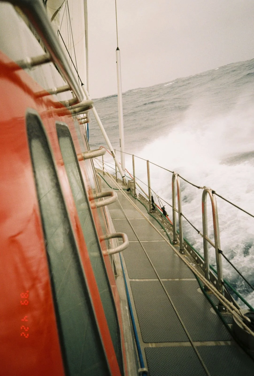
Crossing the Drake, we arrive on Friday the 13th of February, and secure Amundsen with four shore lines – later adding the anchor and even more lines, including one across the whole creek as a trip-wire guard to nudge out bigger bergs drifting in.
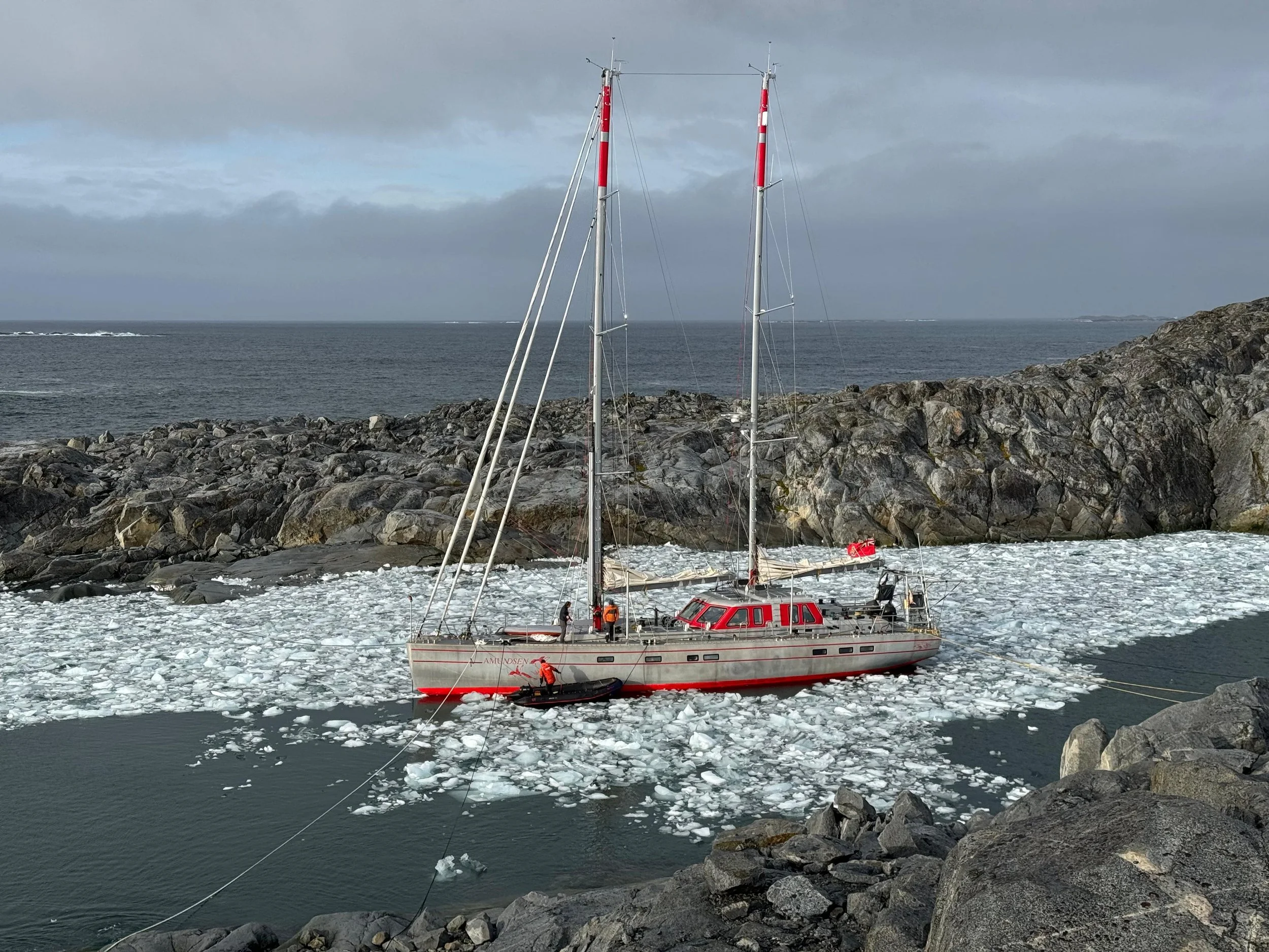
The Creek
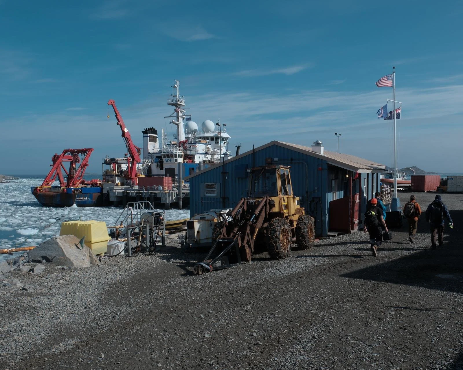
Town, where Palmer hoisted a Cayman Islands flag for Amundsen as a visiting ship
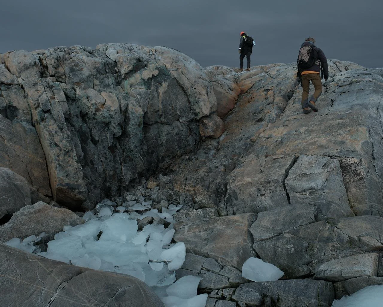
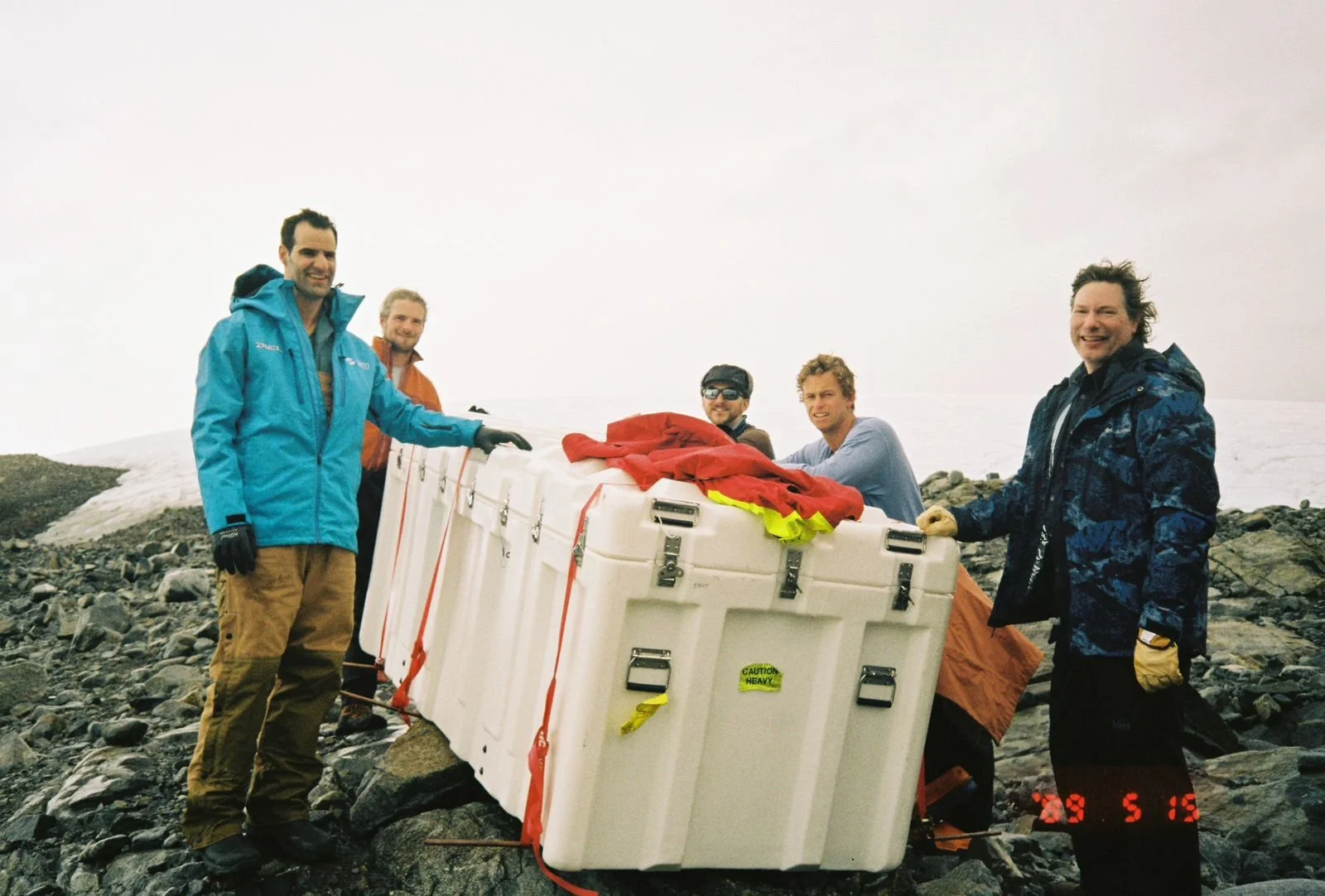
The afternoon of our arrival, we promptly set out to scout the four sites-to-be. Two of the University of Alaska Fairbanks team had already come down by ship to stage the majority of the equipment in a 24-hour whirlwind, and they’d hitched a ride with us back north at the end of our January expedition. Hearing their tales, I’m impressed to see firsthand the ‘perfect’ ramp they’d slid one of the large vaults up from the sea’s edge:
Although the equipment to install is identical for each site, they are hardly a copy-paste, with each site having a unique topography. Critically, the team needs to anticipate the potential flow of flood, rain or melt water; the places it could pool and enter the system of wind-noise filtering hoses. It turns out snow is not a concern, and can actually improve the data with better noise reduction. One of the team’s remote sites on the other side of the Antarctic Continent is on a drifting ice shelf, and it must be occasionally dug up from meters under in the snow and reconstituted elsewhere. Other sites in the Arctic are deep in bear territory. Comparatively, this will be manageable.
We come to know the signatures of each site:
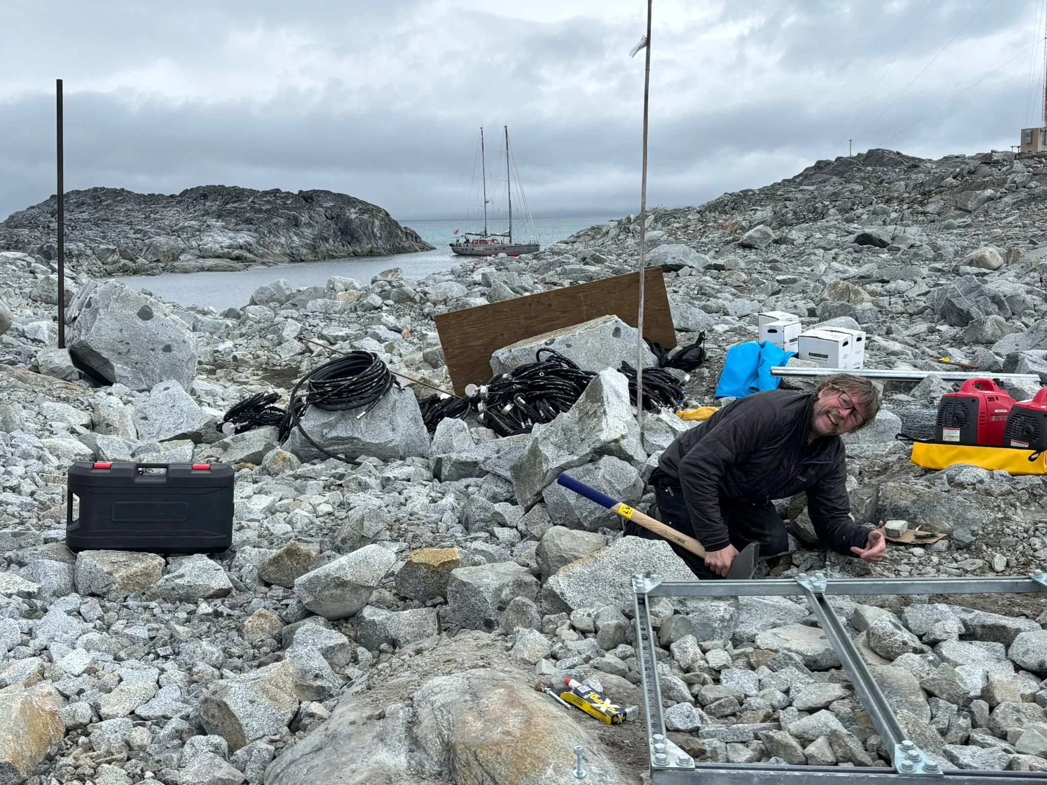
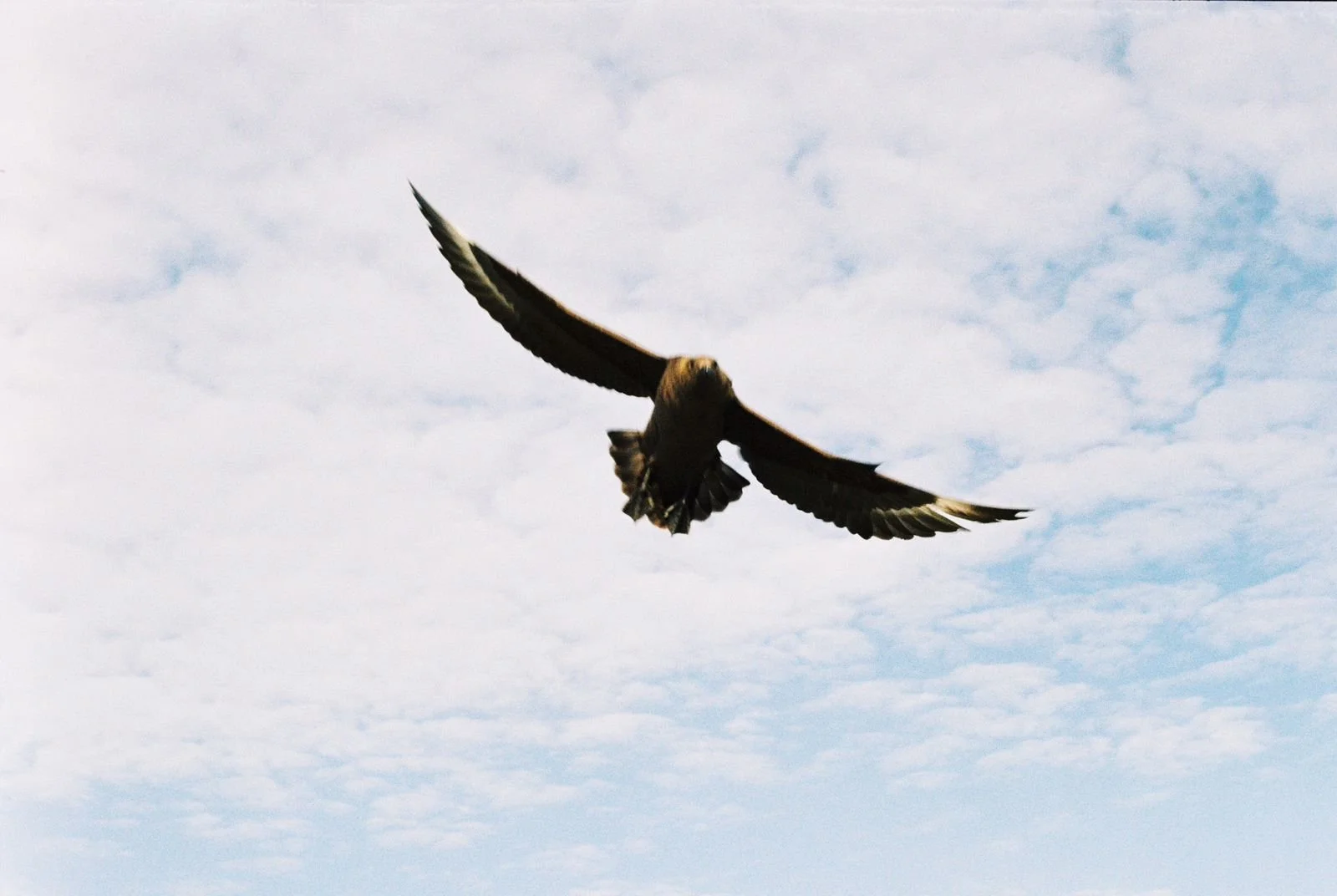
H1, the Easy Site. A short, downhill, boulder-strewn walk from Town, passing some skua-guarded pools. The sound of machinery in the distance and skuas calling.
H2, the Far Site. A 1km hike from Town uphill along a vague trail on the glacial moraine. The longest carry of heavy equipment. The sound of glacial calving.
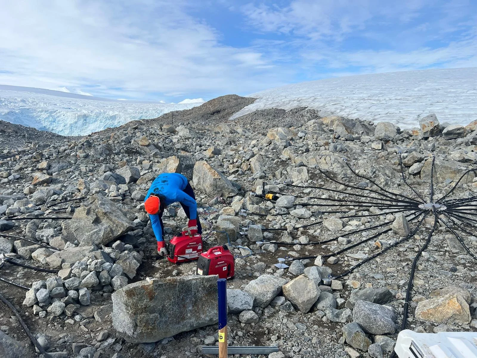
H3, the Scenic Site. A dinghy ride all the way up the creek to the base of the glacier, and short walk to the ridge of Bonaparte Point. The highest standard of rock-gardening is applied here, adding to its natural beauty. We take frequent penguin breaks at the Beach. The sound of fur seals arguing.
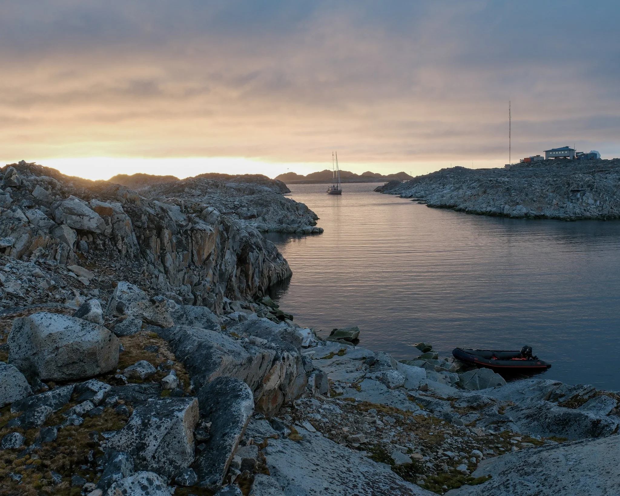
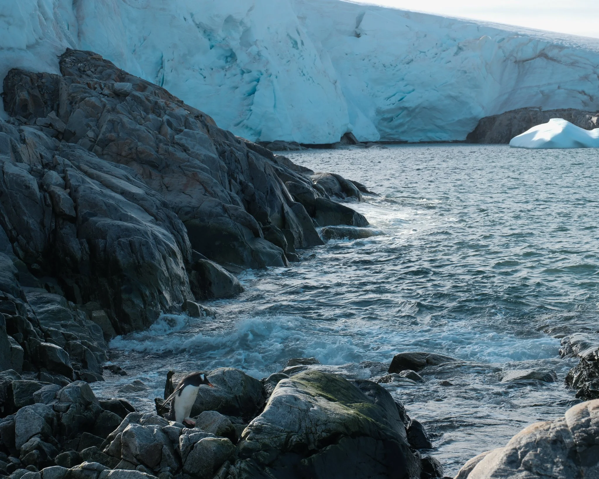
H4, the Wild Site. A dinghy ride out the creek, open to swell. The site placement is so uncertain it was moved three times. Most uneven ground, most rocks to move. The sound of waves lapping, wind howling.
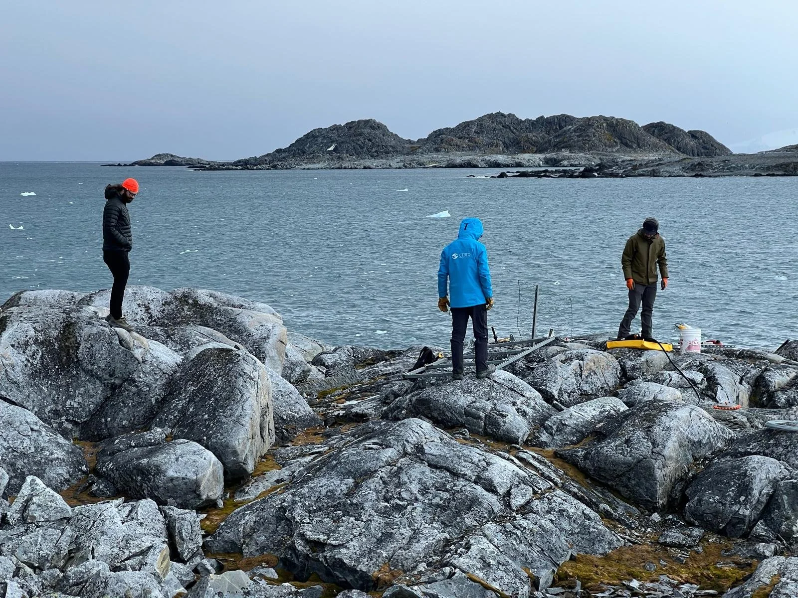
I spend a few hours on shore each day helping out on the site construction. One of the most enjoyable aspects is getting some exercise – turning the Backyard into our gym – hauling some 30kg (66lb) batteries over uneven ground. I had the impression we were walking on the moon, carving new trails and shortcuts.
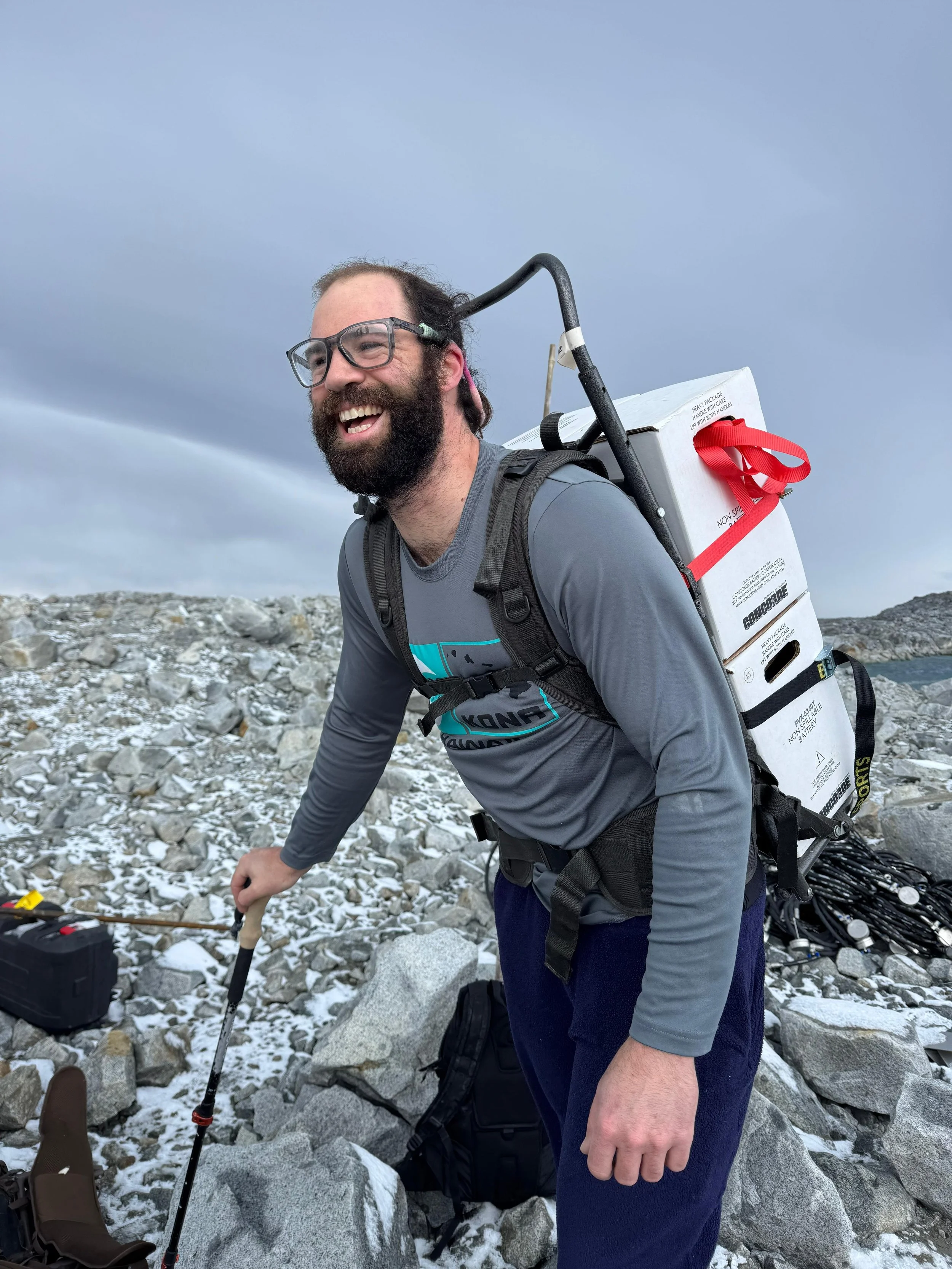
Matt hauling 60kg (132lbs) of batteries in one load.
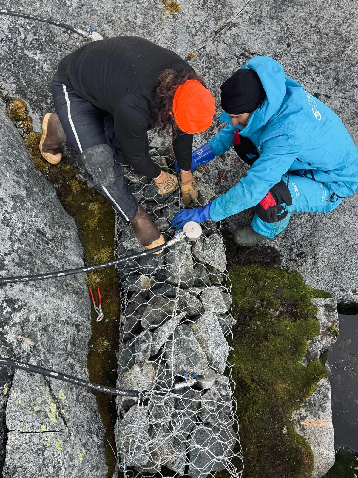
Once the hauling is complete, we have substantial rock-gardening to do, while the engineers meanwhile are fully wiring the system to intercept atmospheric pressure waves.
We build gabions to fill in gaps in the landscape and provide slopes for the hoses and level surfaces for the vaults.
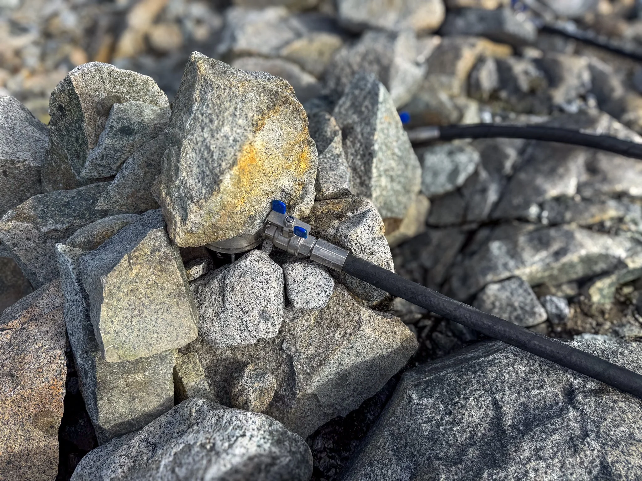
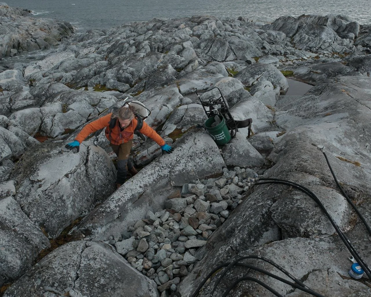
We protect the wind noise reduction hose inlets with stones and mud-plates. Rock supports. Rock puzzles. Rock sculptures. Rock architecture. I say to Eoin: “I need to keep my mind involved by finding the perfect shape rocks to fit together.”
Eoin says to me: “I’m keeping my mind involved by finding more efficient ways to move as few rocks as necessary.”
In the flow of H4 rock-gardening, a pair of storm petrels fly circles near us, and I notice one dive between a pile of stones. I lean my ear nearby and can hear chicks peeping from inside a little cave. They’re far enough away from our rock-gathering, we won’t disturb them.
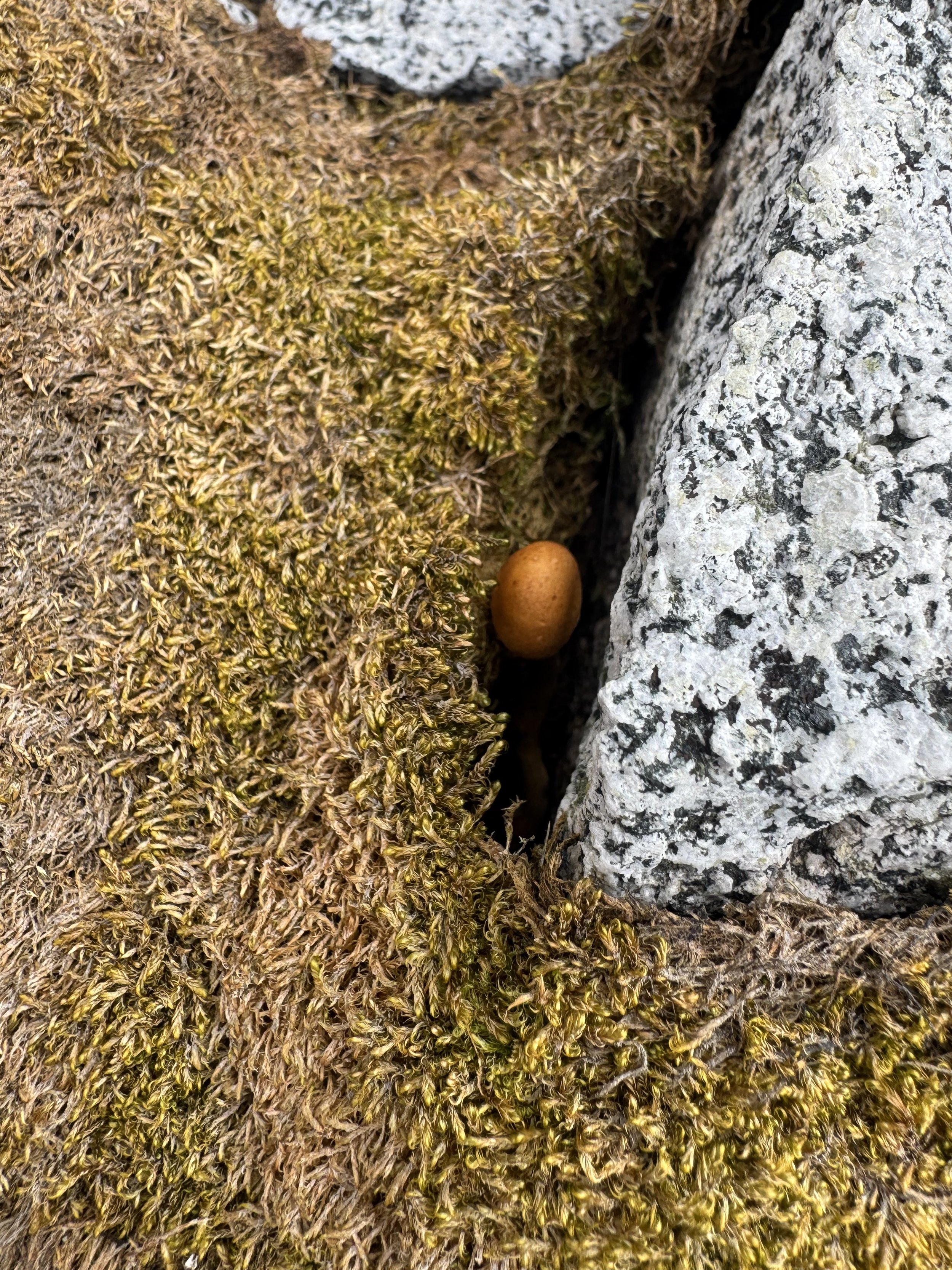
Then, between rock and moss, I spot a shy mushroom. I share a photo on iNaturalist, and a mycologist informs me it’s the southernmost agaric (capped mushroom) tagged on the platform, if only we could have it sequenced! Unfortunately, we’re not allowed to collect it, and I can’t even find it again. Even the mushroom’s spores may have travelled here via the stratosphere.
As the sites come online, we begin to listen to the echoes of distant events, carried in on low-frequency infrasonic waves. The four sites together help to locate the source of the pressure wave. Infrasound is one way geoscientists observe the geological events and distant explosions from volcanoes or meteorites, complementing seismometers and hydracoustics that listen underground and underwater. In practice, we hear the nearby glacier calving and jot down the time, then find the corresponding spike in the data recorded by the infrasound sensors.
What we hear on the surface – a crack of ice, and the boom of its wave – is different than what the sensors record: pressure waves born from deep movement within, which sped up may sound like “a series of thuds and knocks, with orchestral tones in the background” (Brian House, Infrasound Artist, Washington Post). A massive calving event here on the Antarctic Peninsula might register on the station in Ushuaia, about 700NM away. The glacier is always transmitting. We are just learning to decode its messages.
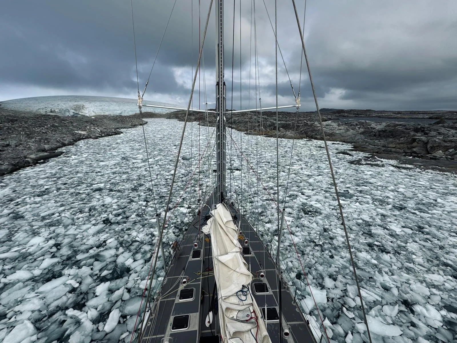
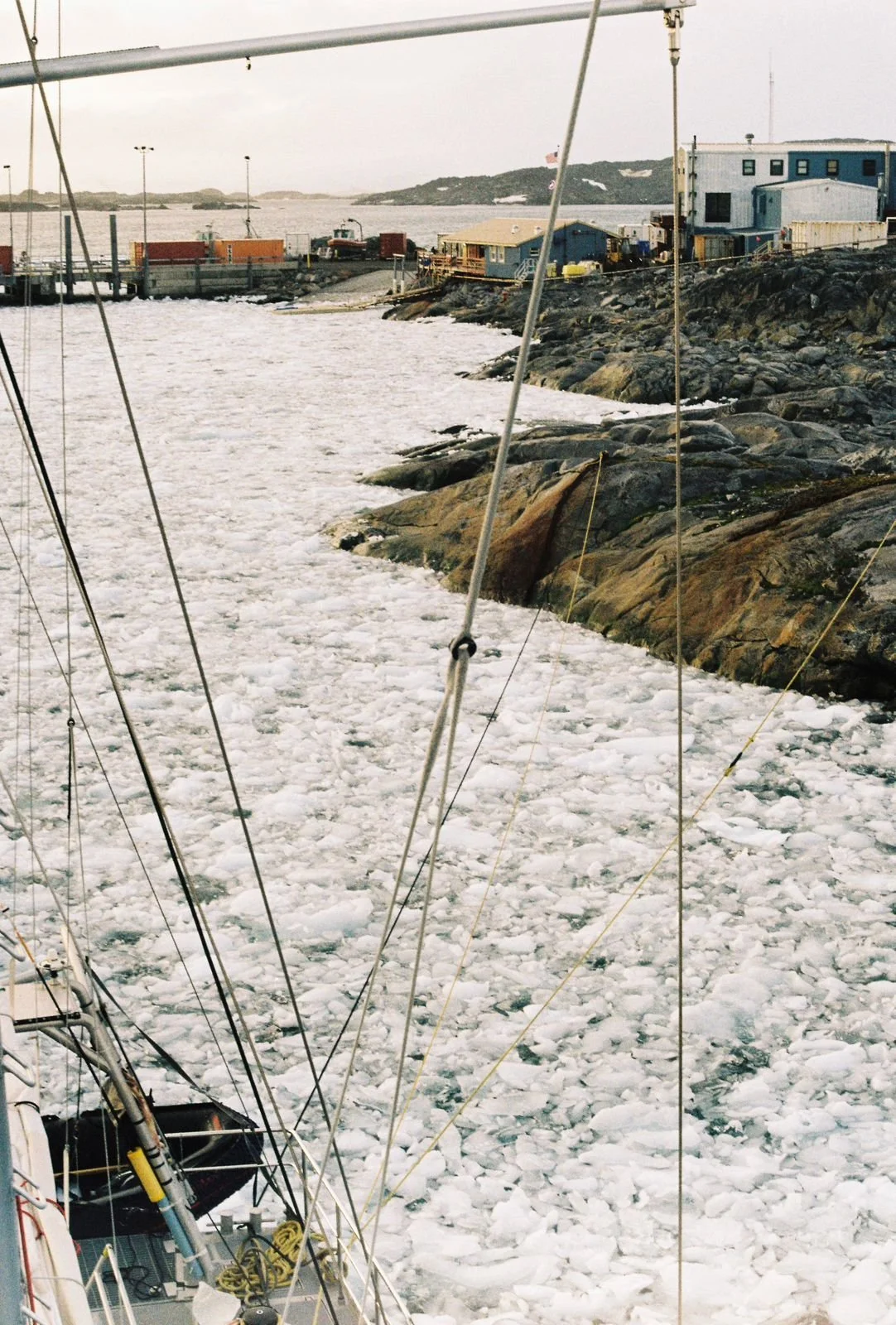
We are very much living in the presence of the glacier, which defies any chance of monotony. Daily calving, ice flotsam that flows with the direction of the wind and melts into mush.
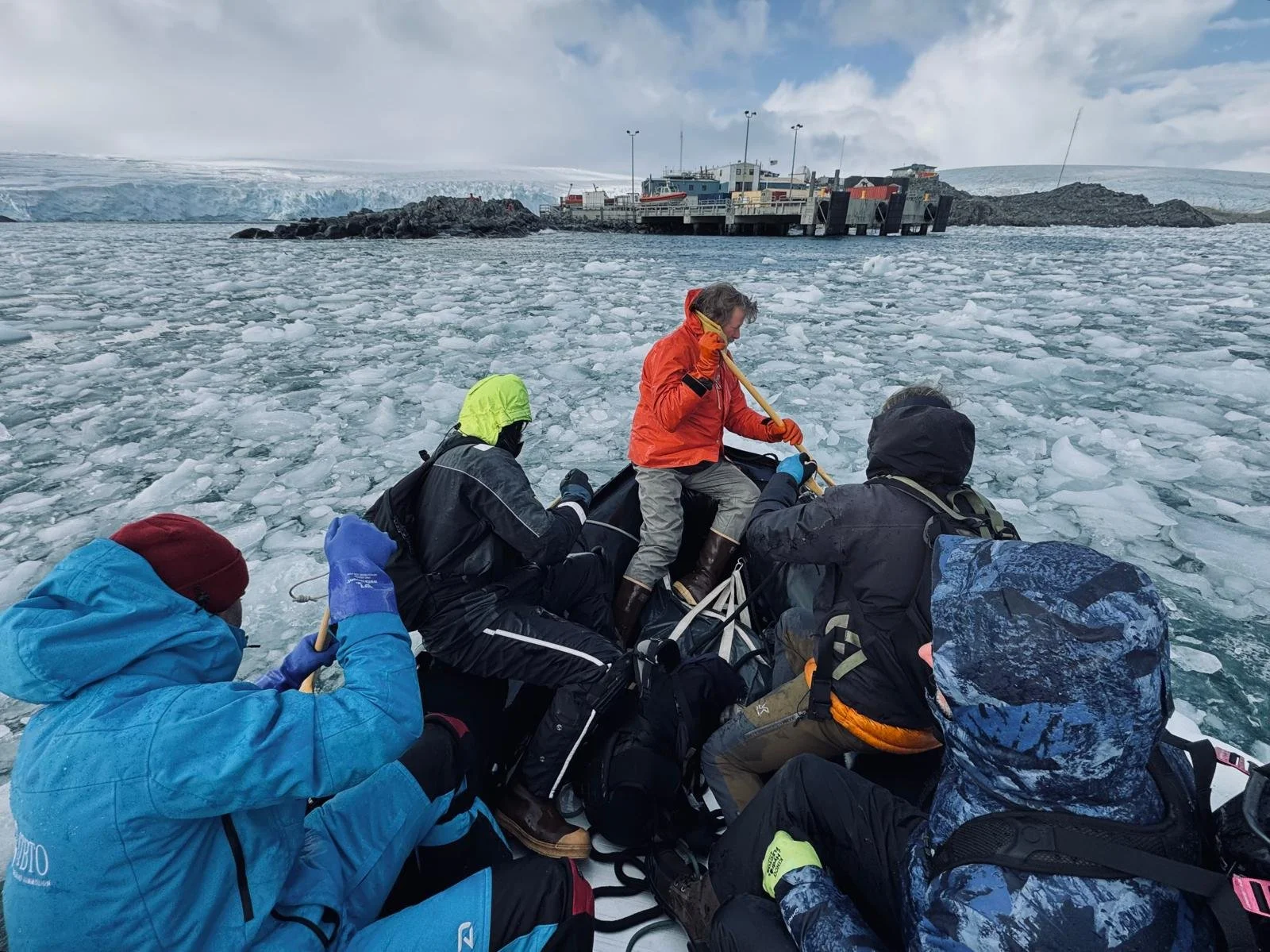
Some days the brash chokes the whole creek, and one morning moves in so quickly that we must return with nine of us in the dinghy from the far side of Bonaparte Point, paddling by oar to part the ice.
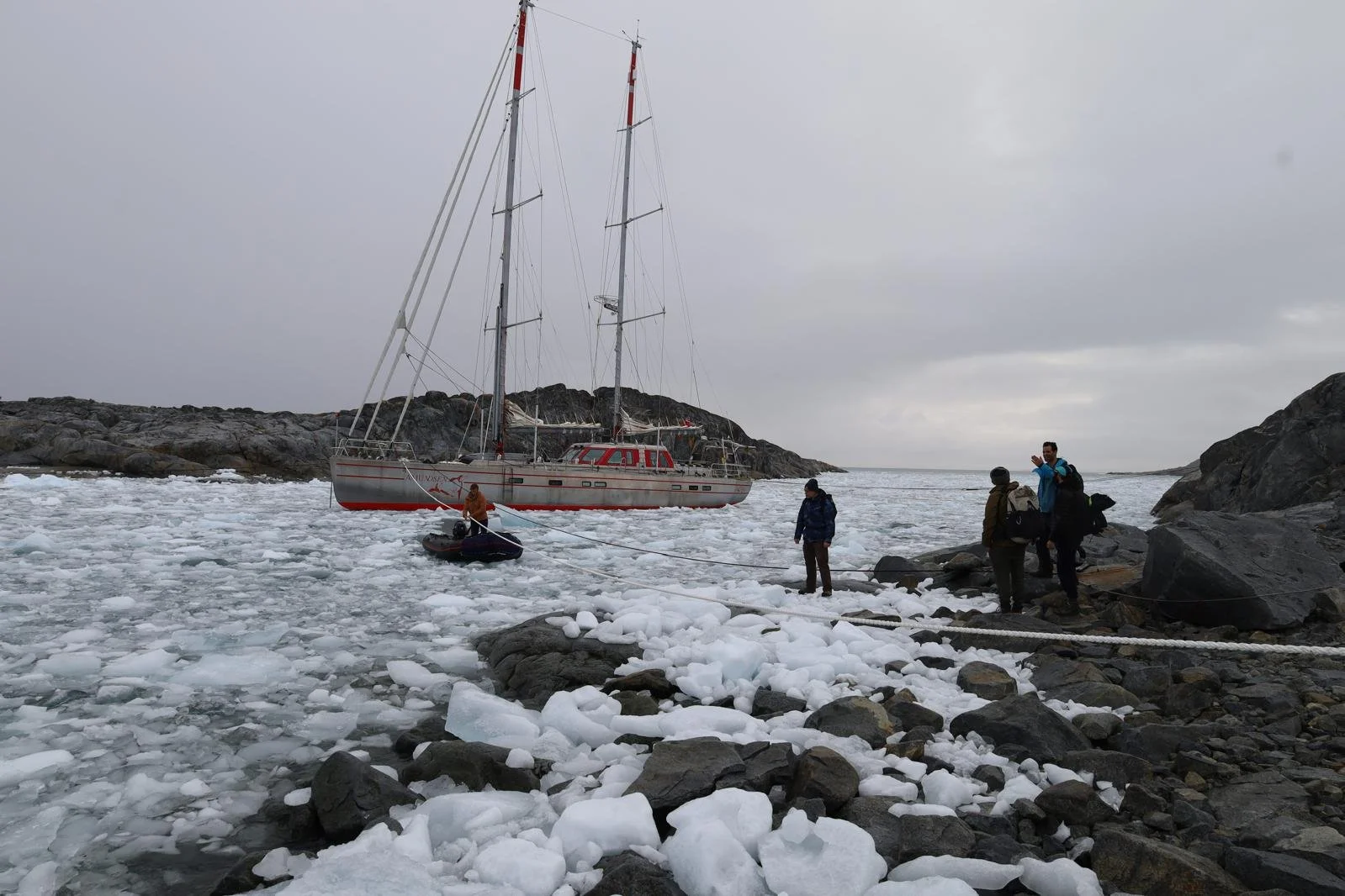
We learn from that challenge, and pull hand-over-hand along the shore lines to the near-shore, to walk ~45min to H3 via the glacier instead.
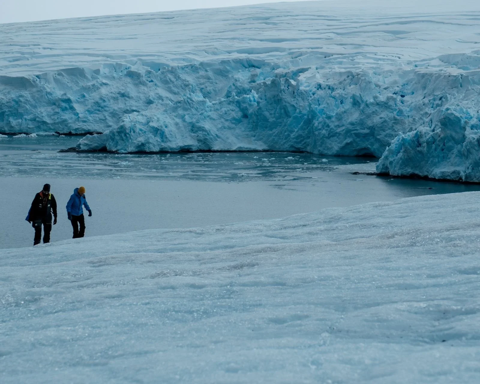
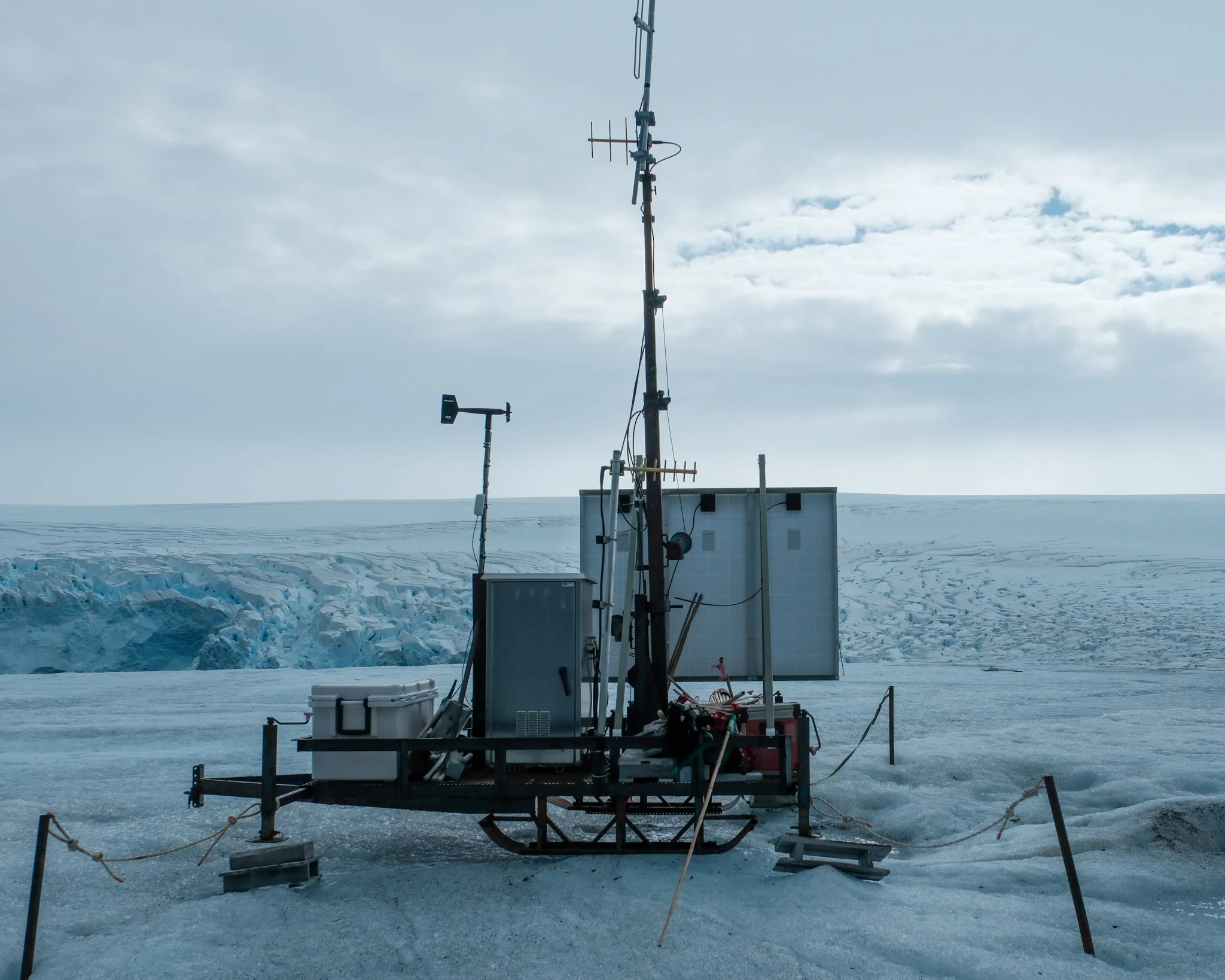
The glacier, being more like a solid block of ice than a snow-covered crevasse field, is a relatively safe place to roam. Textured but slippery on a warm day, one can just manage without crampons. The access is steep, and then it rounds gently on up to a weather station.
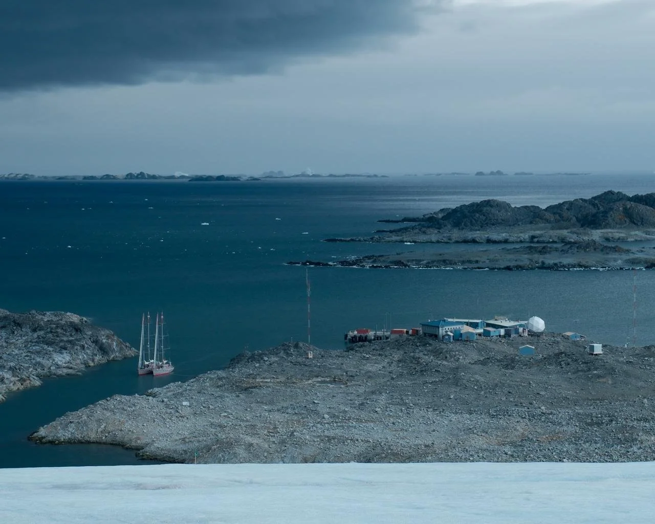
We behold the views west over the Creek with Amundsen — and Vinson! — tucked in.
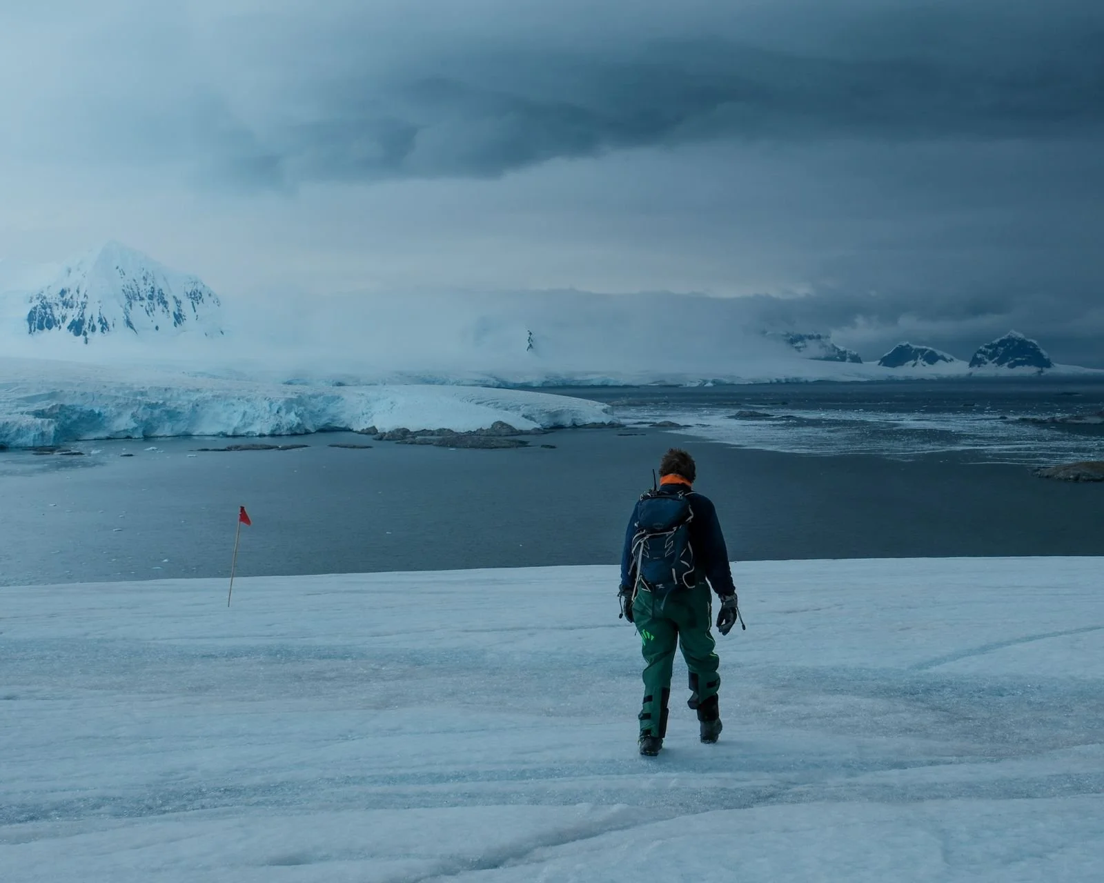
We look east to Access Point where we dropped our skiers off for Five Days on Anvers Island last expedition.
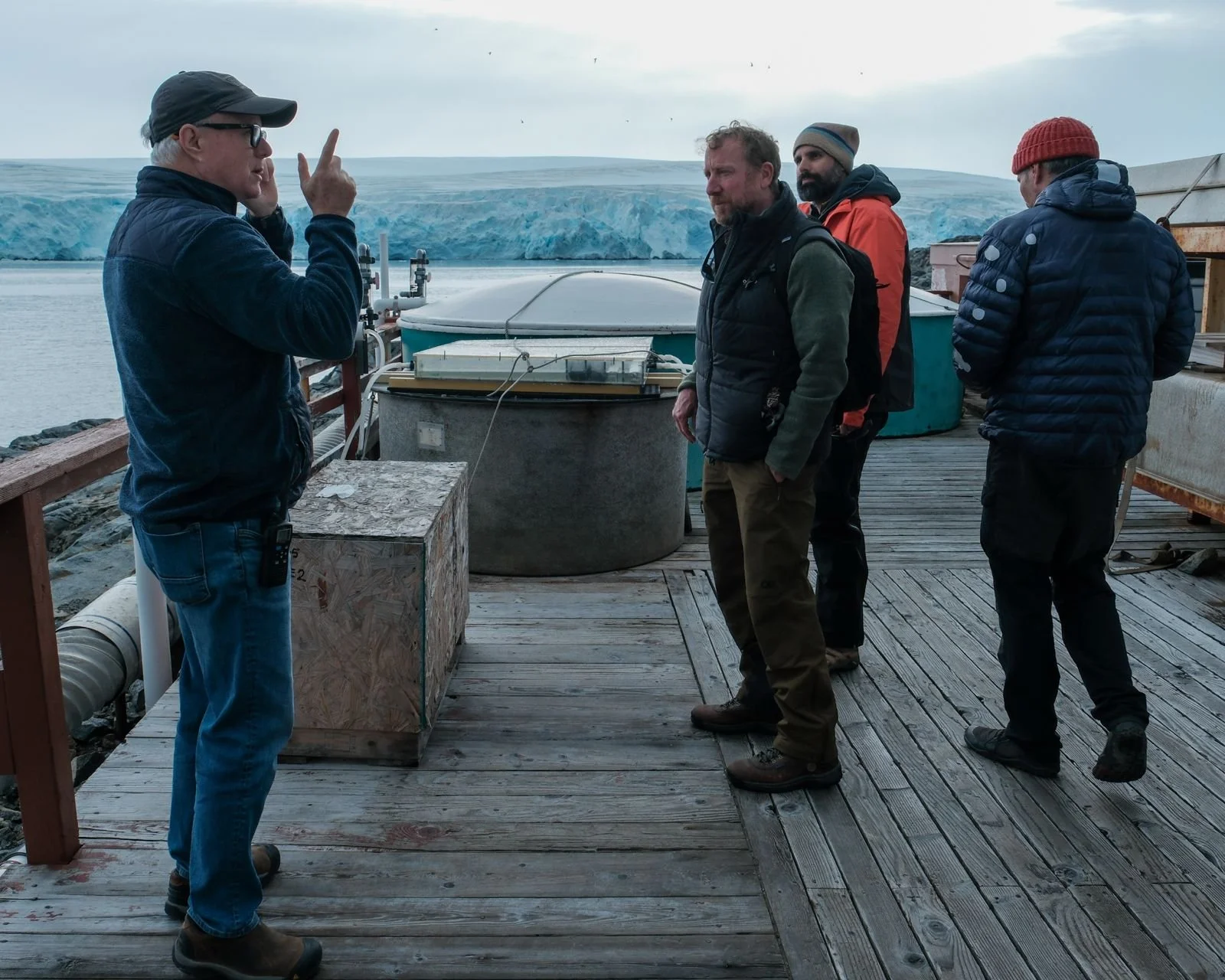
Palmer Station Manager Bob, who’s been coming down for decades, shows us photos of the glacier in years past. The same geography is nearly unrecognizable, and not only is the glacier shrinking from the front, but also the top - with views of peaks on a clear day from the base, that were hidden before. On March 14 (3.14) one year, a new island was revealed by the retreating glacier, and earned the name Pi (𝜋) Island.
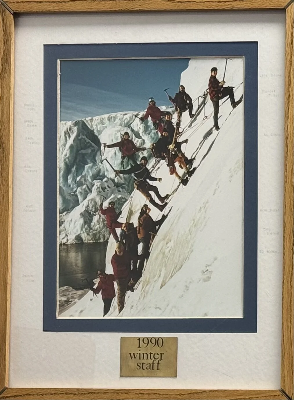
While touring Palmer, we come across a photo of the 1990 winter staff in the stairwell gallery, including a younger Tony D’Aoust, second up from the bottom.
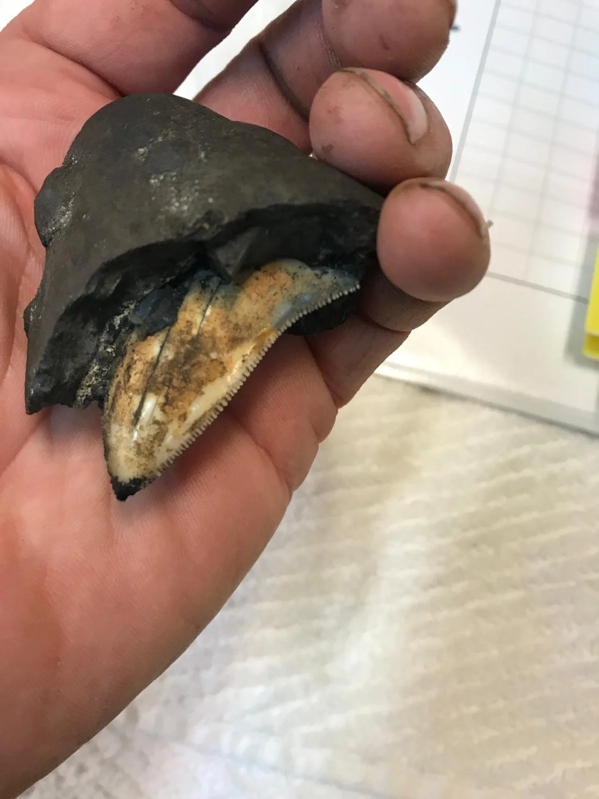
Tony is particularly fond of gathering rocks from the bottom of the sea, and shows us some of the rocks (serpentinized peridotite, glassy basalts, coarse-grained gabbros, and diabase), collected from 5000m deep, off the Mid-Atlantic Ridge, exposed to oxygen for the very first time. And even more excitingly, photos of the tooth of a megalodon that came up with the haul, with 4+ million years of manganese crust growing on it. I’m intrigued to better understand the deep-time the geologists, seismologists, volcanologists on board can discern from all the rock collecting.
The rocks around us are unremarkable, but nonetheless, one may not collect rocks, mushrooms, or even water in Antarctica without a permit.
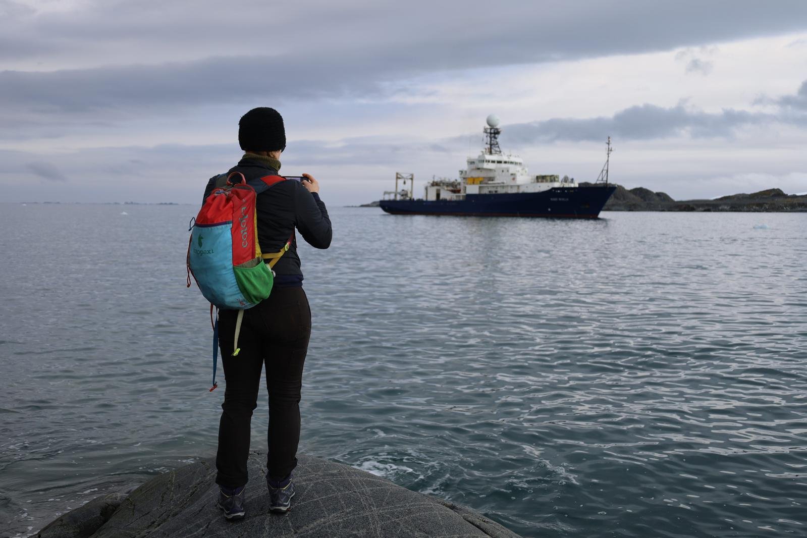
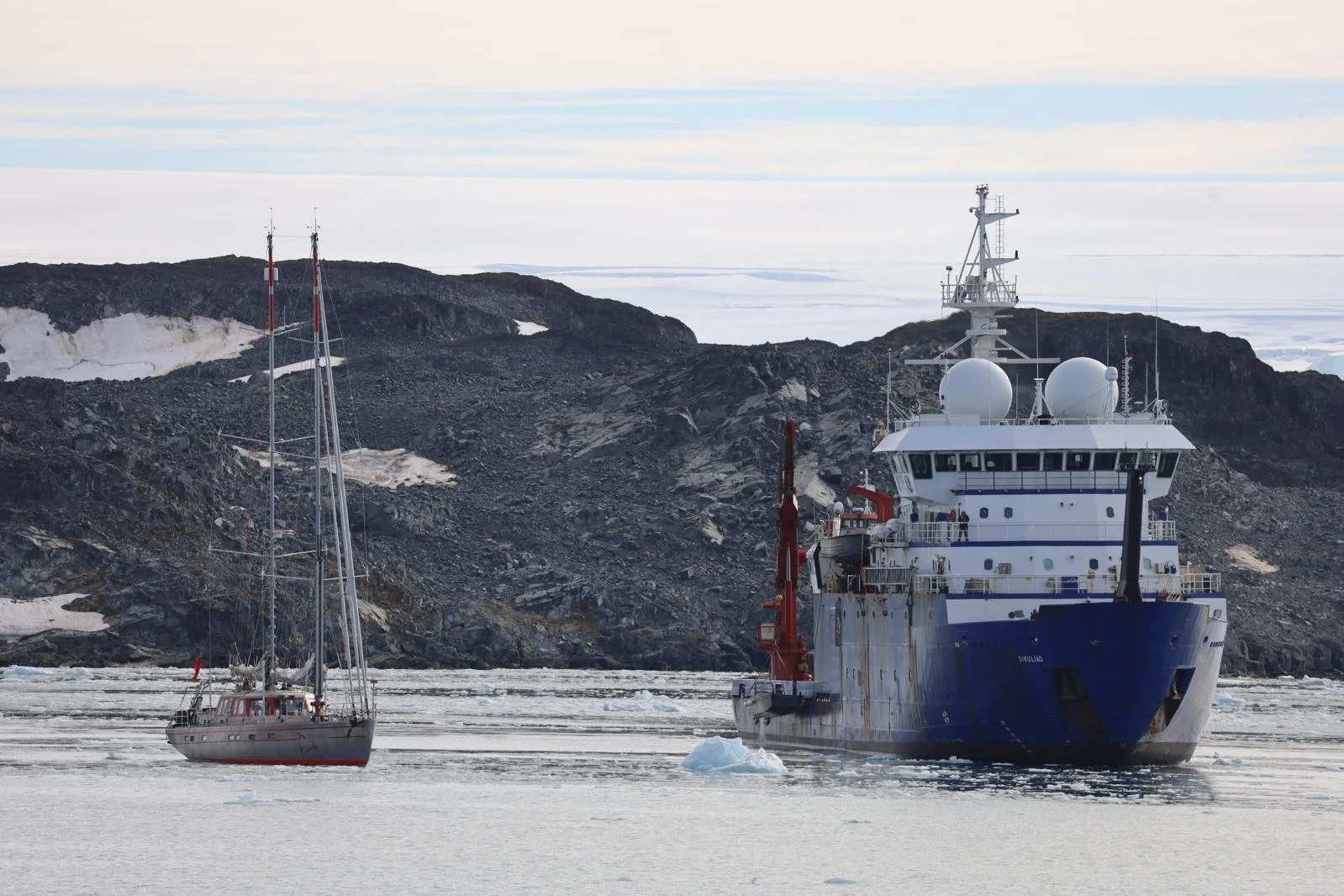
With two research ships visiting, the Roger Revelle and the Sikuliaq, we are welcomed for tours by the captains. As Tony had been part of many expeditions past, he takes us straightaway to the best part of the ships: the winch rooms.
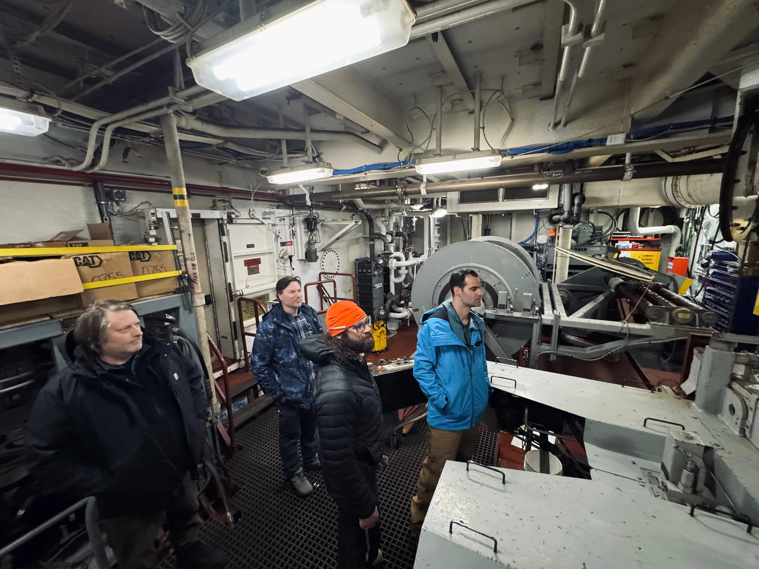
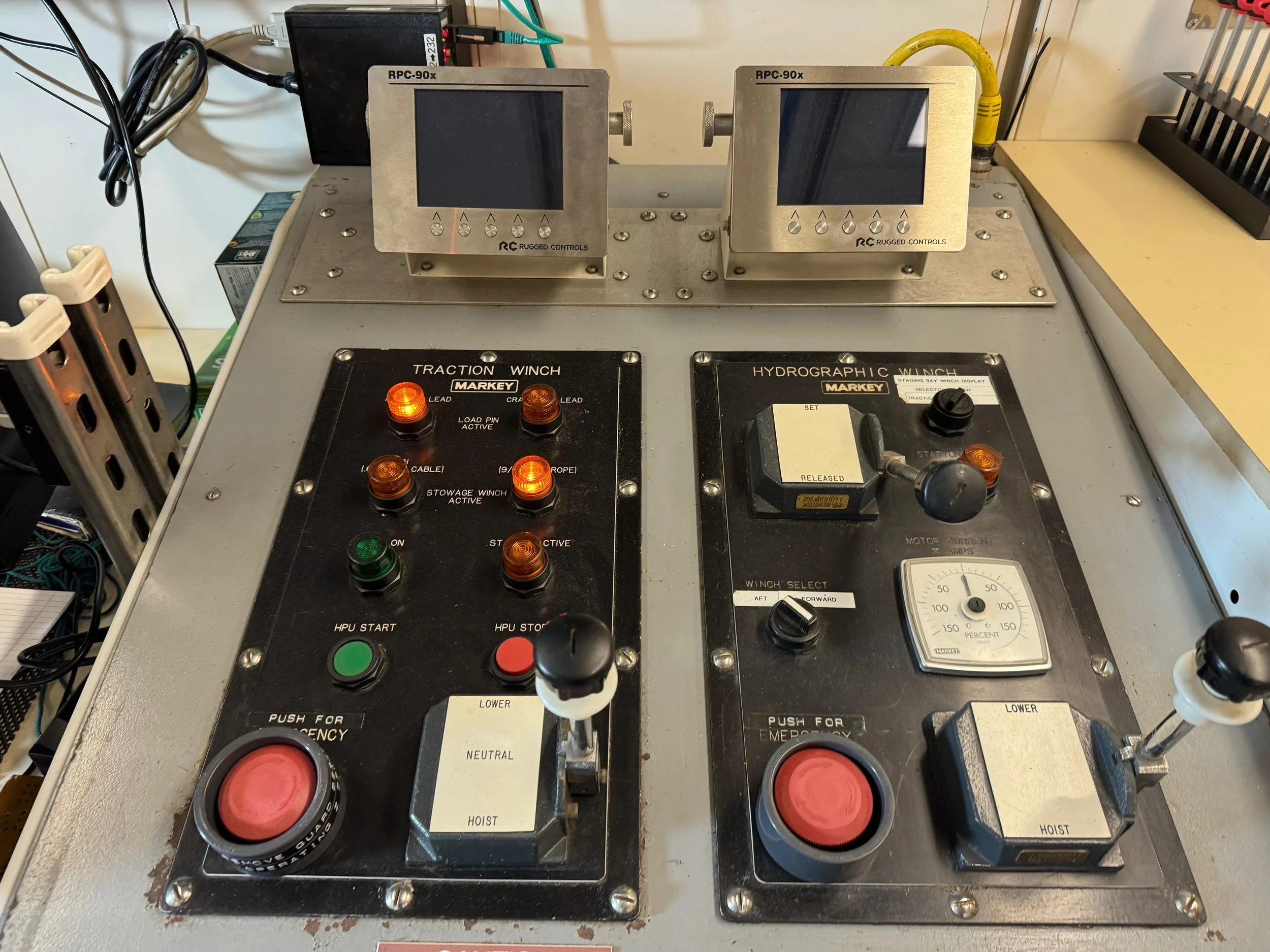
10,000m of cable for hauling up rocks from the sea bottom: the Roger Revelle winch room and winch controls.
We juxtapose the ops of the big ships with our comparatively simple yacht. They’re optimized for oceanography and science, with the dredges, rosettes, ROVs, nets, and various crafts often going over the side – by contrast, we try to keep as much on board as possible at all times. They have fine-tuned control and comms between multiple operators; storage and processing for all the samples collected. The engine room is a labyrinth.
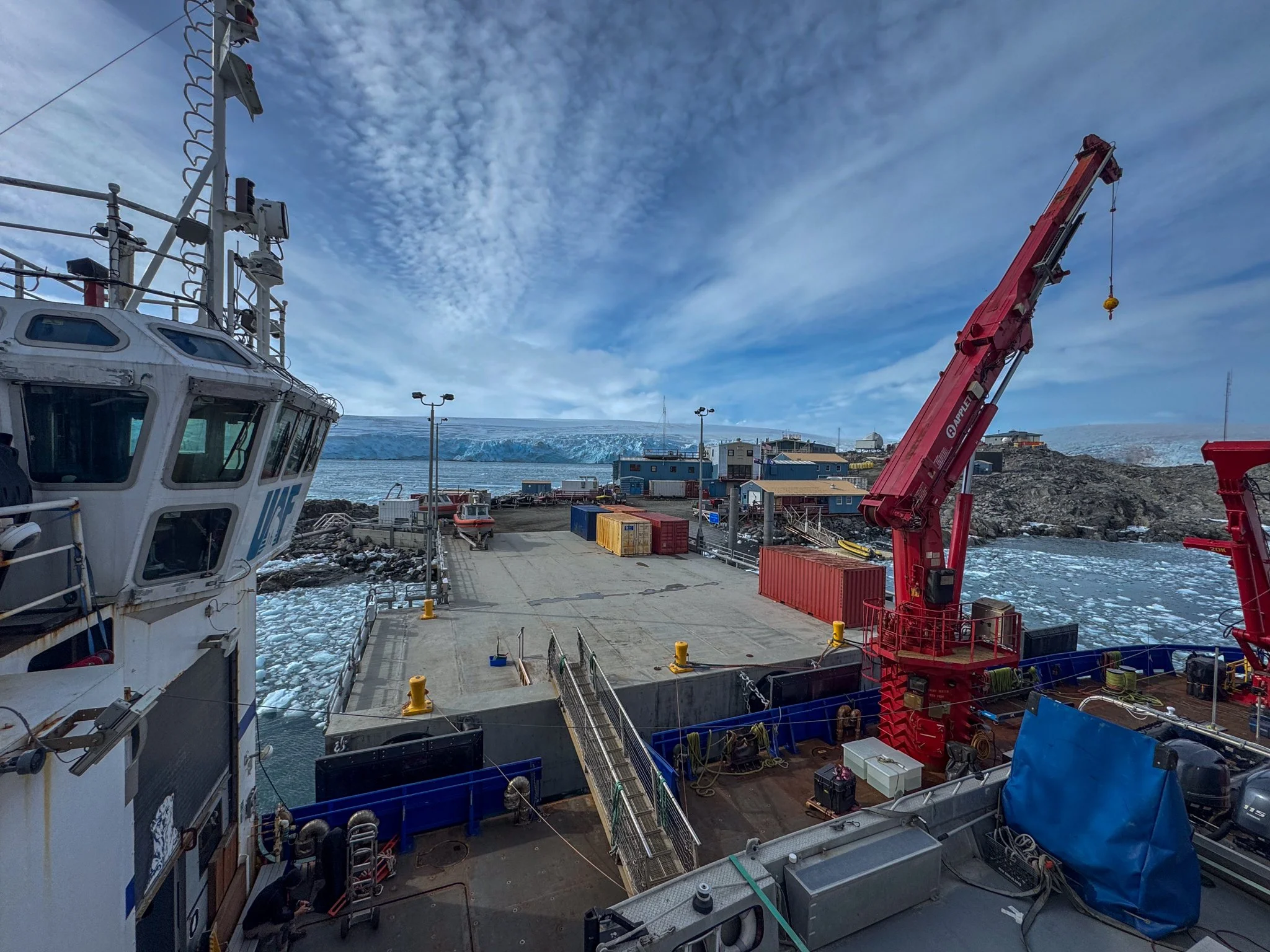
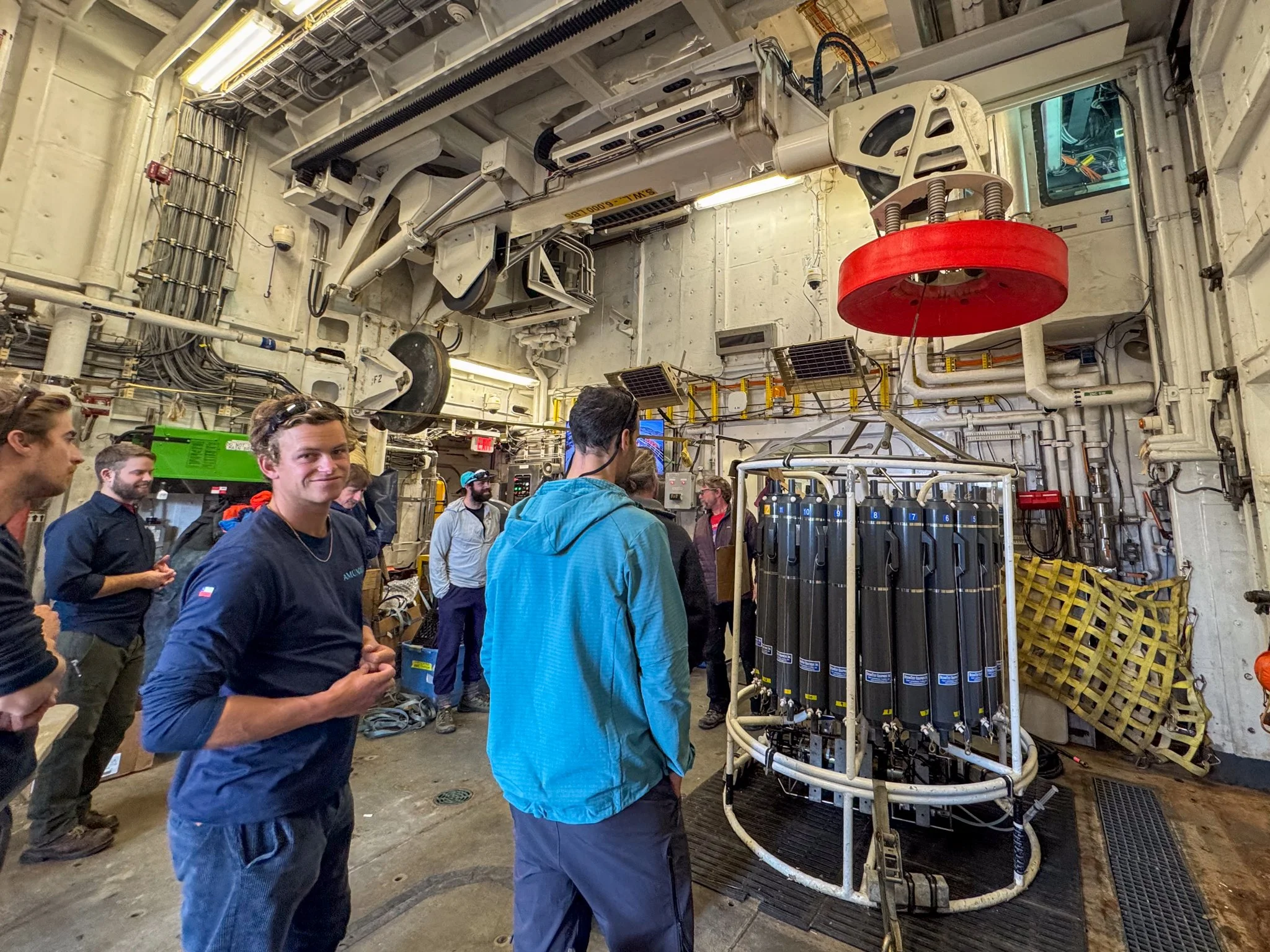
Rosette for collecting water samples at different depths, and cranes on Sikuliaq
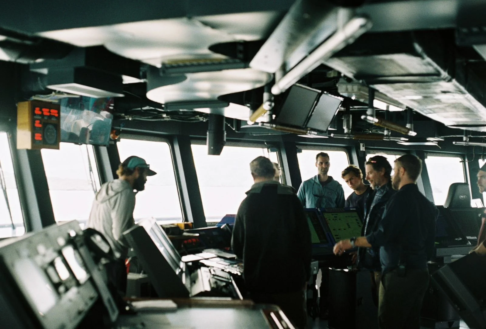
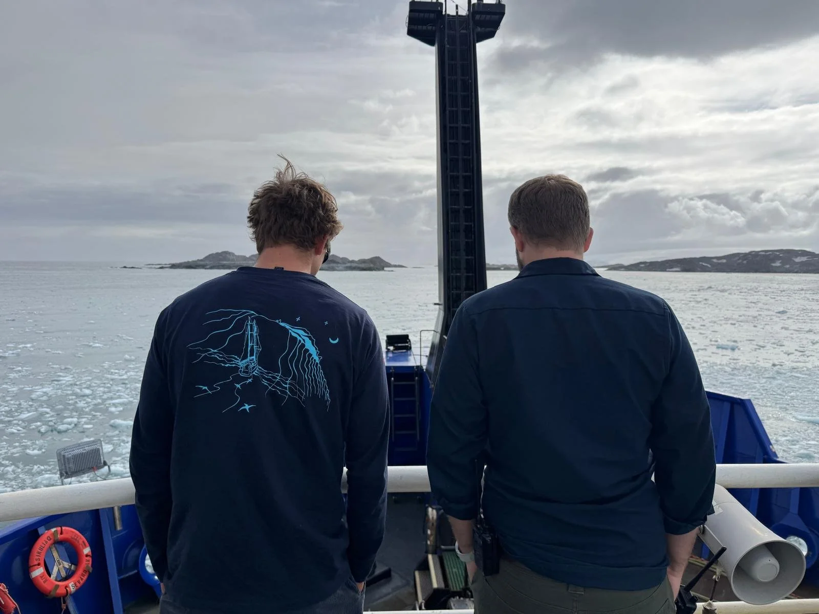
The Bridge of Sikuliaq and young captains Tor and Christoph side by side
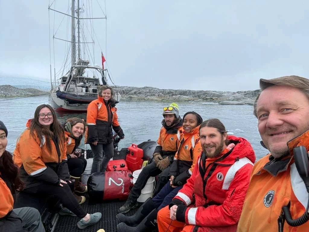
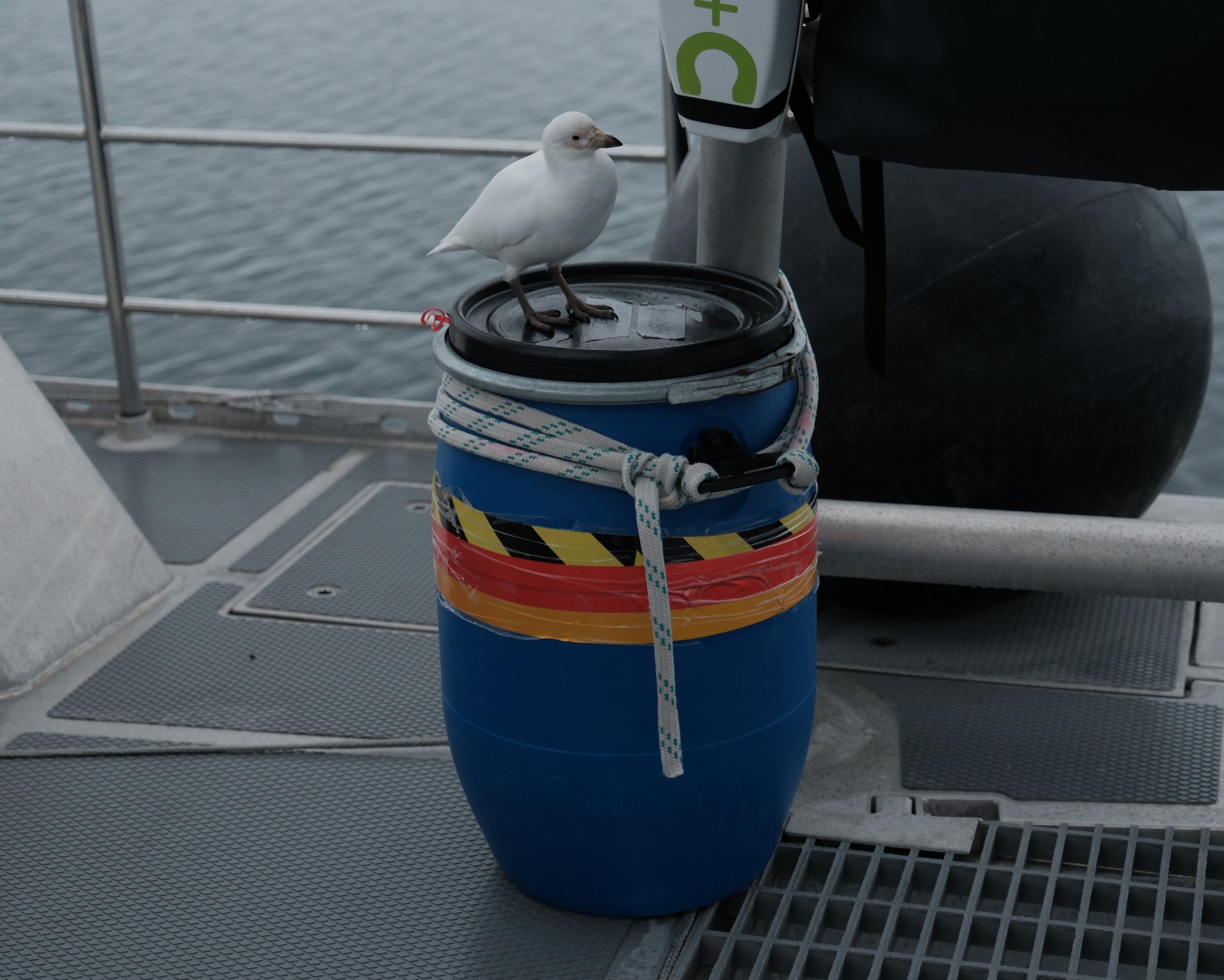
We enjoy hosting groups from the ships and from Palmer, as well as Vinson of Antarctica who came alongside us one day. The VHF radio chatter is lively, between ships, dinghies, and Palmer Station. We receive a call but miss who’s requesting the visit – “Station Calling” is our polite response to the unknown hailer. All are invited. We shower everyone with homemade baked goods, and talk shop. How to catch penguins with a butterfly net; krill storage; ocean chemistry; and Palmer’s strange obsession with sheathbills – the local equivalent of a chicken. We also discuss the link and tension between science and industry – all of that incredible technology on the ships benefitting from the world-class R&D done by the offshore oil & gas exploration industry.
Amid the backdrop impacting the ships, the base, and us, is America’s political situation - slashing science funding and creating a lot of operating pressure. The dedicated icebreaker, the Nathanial B Palmer, was pulled with budget cuts. The Sikuliaq was re-routed from the Arctic, and the Roger Revelle of San Diego was available to support Palmer’s Long-Term Ecological Research – but not being an icebreaker, needed to take very special care not to touch ice at any speed while in Antarctica. Meanwhile, Palmer Station now needs to rely on Ukraine’s Noosfera for provisions, supplies, transportation, and research support.
Meanwhile, UAF’s infrasound project on Amundsen was able to move forward because of the applications beyond just scientific research. It's a critical component of the UN's Comprehensive Nuclear-Test-Ban Treaty Organization and its verification regime to detect nuclear blasts conducted in the atmosphere, underground or underwater. Mid-way through installing a system for listening for nuclear activity, the war in the Middle East kicks off, and we feel unsettlingly at the junction of global tensions, despite being in such a remote corner of the planet.
If we could ask the rocks and glaciers around us what to do about war and the risk of nuclear annihilation, I suppose they’d remind us that rupture, quakes, and meteor strikes are all part of Earth’s long history. Geologists perhaps hold an uncommon sense of patience and perspective, by learning to read “the storylines of Earth’s history directly from rocks … the plots and protagonists that shaped the places where we live … [and] in doing so, see ourselves in miniature, part of a long lineage of creatures on a creative planet that has renewed itself for more than four billion years” (Marcia Bjornerud, Turning to Stone)
On the other hand, atmospheric listening brings us into the immediacy of geology. Not millions of years, but the seconds rippling out from a distant explosion, the present tense of a planet under pressure.
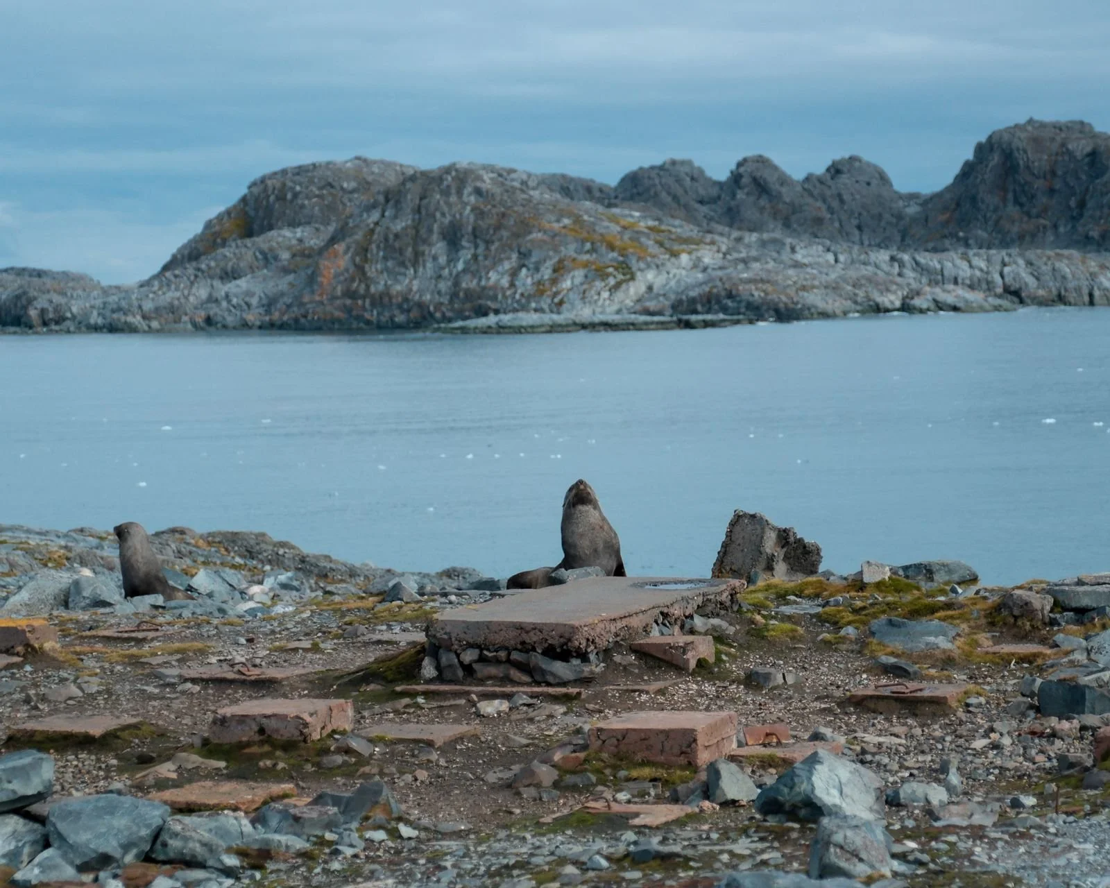
One afternoon, we visit Amsler Island, to check the location for one of the future sites. To get there, with Luca at the helm (and everyone else commenting on what he should do), we take Amundsen through uncharted waters between narrow islands, closely monitoring depth with the Fish Finder. First we check the nearer side, but with brash ice filling, we must avoid reversing if it gets too shallow - and we swing a circle in forward to escape before the area becomes too narrow to manoeuvre. Instead we head to Old Palmer, figuring other boats must have come in here. The ruins of Old Palmer are now an amphitheater of fur seals, who are of course, camouflaged to look like rocks.
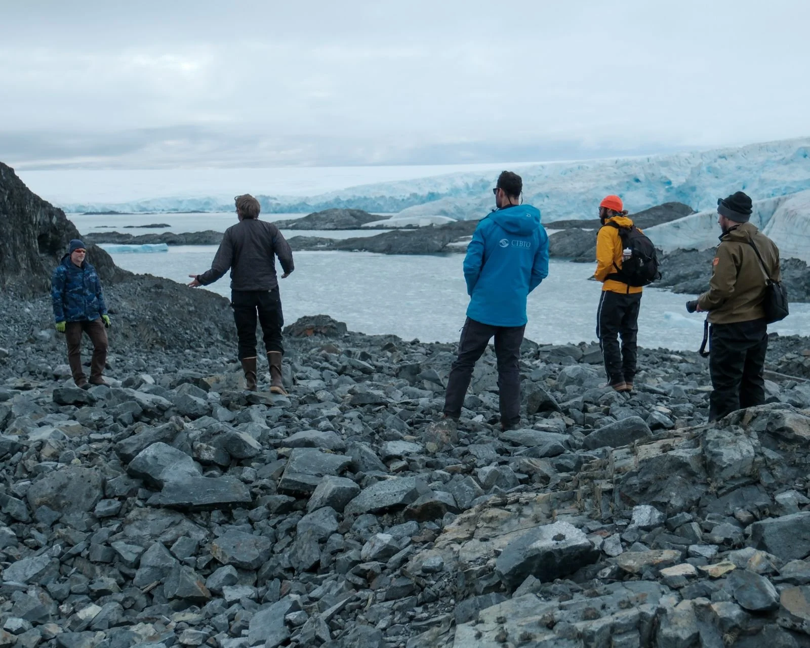
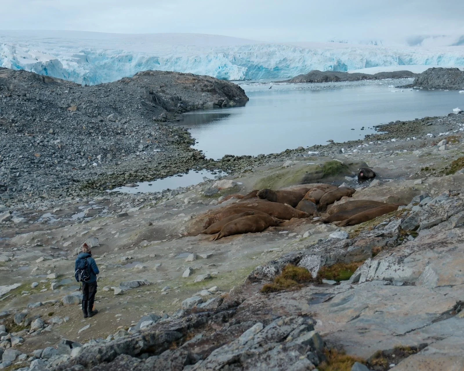
On the way to scope the future site, H7, we encounter a group of yawning elephant seals, modern amphibious megalodons, beside whom Skip appears to be a garden gnome.
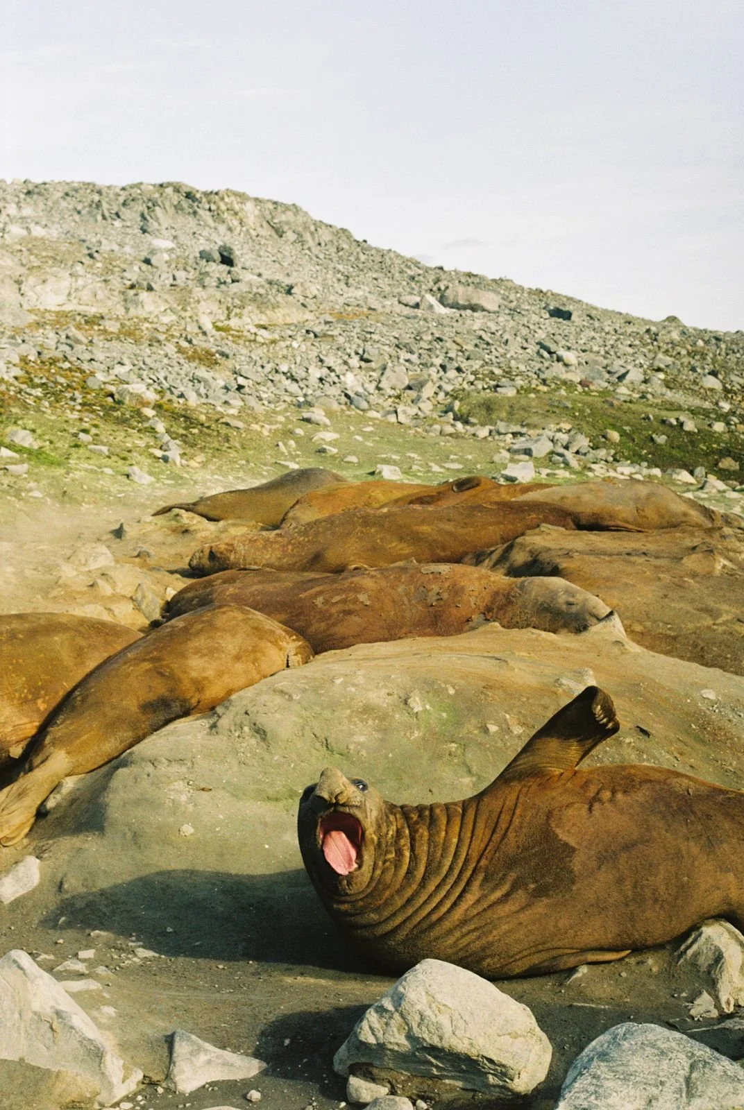
Most of the extraordinary stories and heroic efforts that went into this installation will remain invisible to the world. At the end of this big lift, we’ve now added one small stream of data to a vast global monitoring system. An ear for the whole planet, listening to what travels below the threshold of our human senses.
Waking up in the same place every day, for the same task of moving rocks, turned out not to be so monotonous. Each morning the Creek was a different Creek. New water, new ice, new visitors. The rocks record the story of Here. The ever-moving waves write the story of Now. On the last day, as we reeled in the shore lines, fired up the engines, and slowly made our way past Bonaparte Point, the team kept a constant eye on the data stream, watching for gaps in the signal until we reached the point of no turning back.
We finally gave the atmosphere an answer to its broadcast. Station Calling, this is Amundsen. Go ahead. We're listening.
Photos by Skip Novak, Luca Novak, Tony D’Aoust, Kate Schnippering
Infrasound Installation Team: Gregory Brenn (Seismo-acoustic Engineer, CTBTO); Matthew VonLintig (Field Technician, UAF/WATC), Riley Bickford (Seismo-acoustic Engineer, UAF/WATC), Jay Helmericks (Lead Engineer, UAF/WATC), Tony D’Aoust (Power Systems Engineer, UAF/WATC)
Amundsen Team: Luca Novak (Crew), Kate Schnippering (Crew), Eoin Keyes (First Mate), Tor Bovim (Skipper), Skip Novak (Expedition Leader)
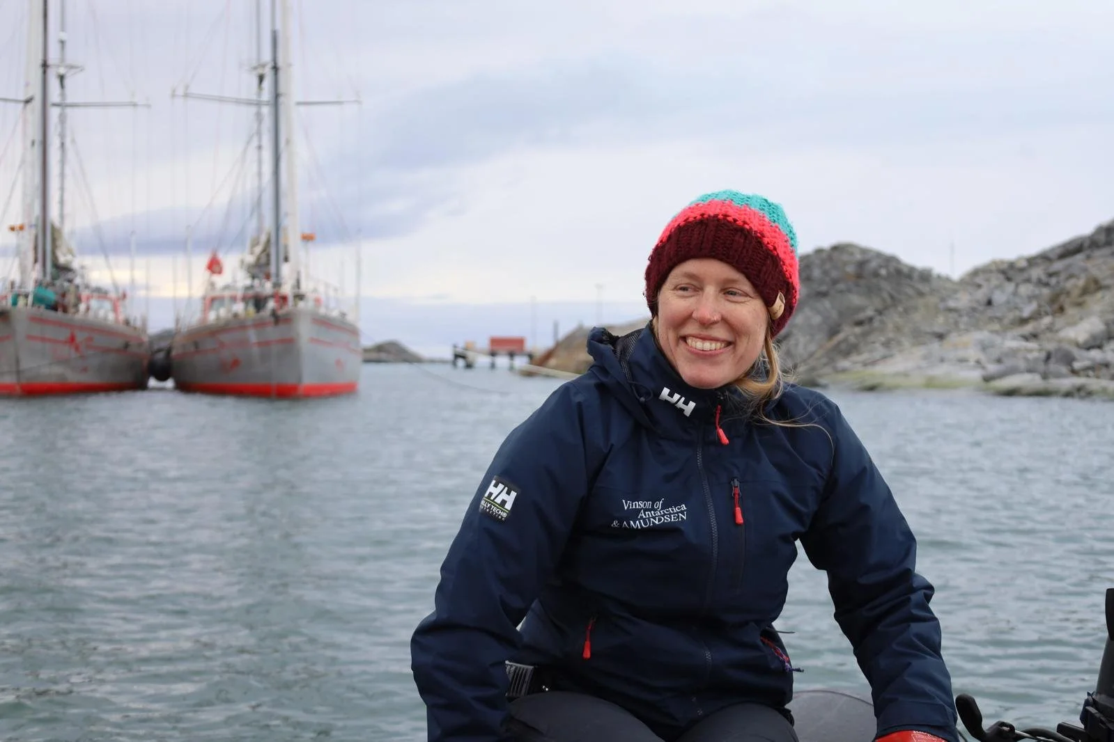
Kate Schnippering
Crew, Amundsen
